進み続けてさえいれば、遅くとも関係ない
すすみつづけてさえいれば、おそくともかんけいない
–孔子
It doesn’t matter how slow you go as long as you don’t stop.
–Confucius
進み続けてさえいれば、遅くとも関係ない
すすみつづけてさえいれば、おそくともかんけいない
–孔子
It doesn’t matter how slow you go as long as you don’t stop.
–Confucius
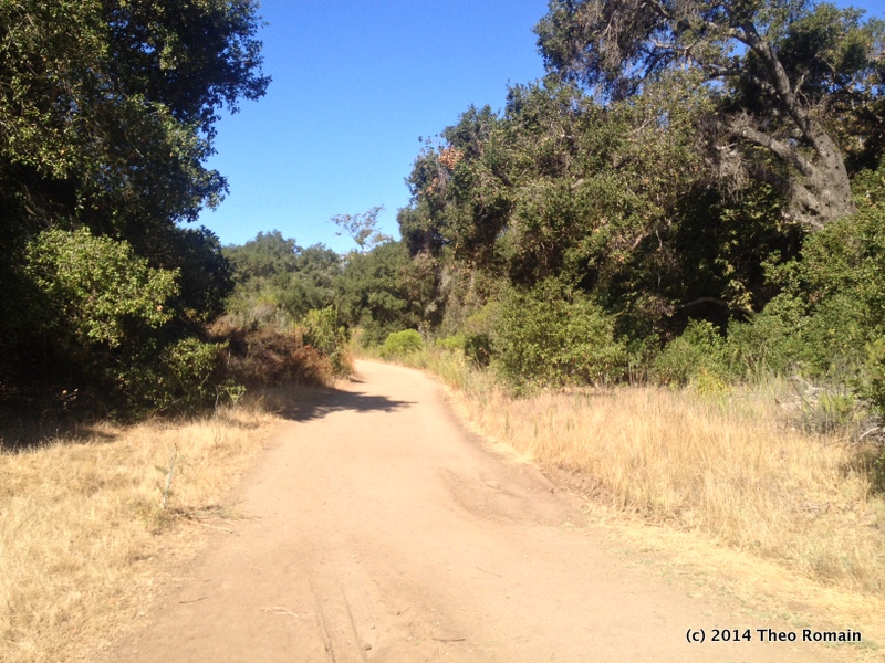
Buena Vista park is a beautiful open space wilderness in the heart of suburban North San Diego County.
Maintained by the City of Vista, the park is a prime example of the concept “less is more.” The park is not a grassed over “city park,” but a wild land protected by the city with trails through out and areas where you can pretend you are in some distant wilderness.


The best place to park is at the duck pond on the north side of the park off of Shadowridge. Drive just west of Melrose Drive. The duck pond area provides a sliver of “normal” city park like space with grassy areas and numerous picnic tables. This can be a great place to just hang out and relax with family and friends.
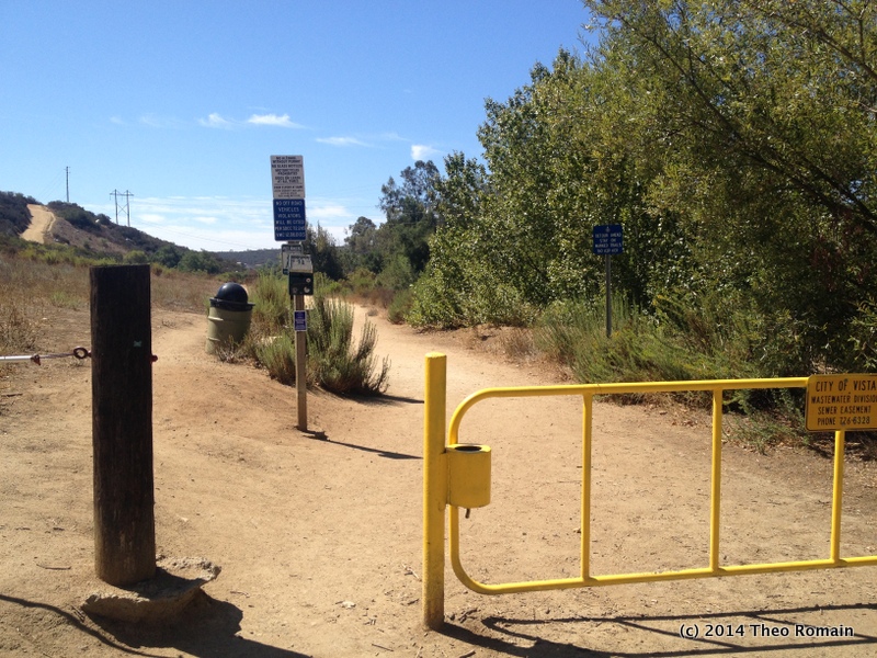
On the south end of the parking lot you will see a yellow gate. This leads to the more wild section of the park. The trails are open to dogs and bikes. The city provides bags for dog owners.
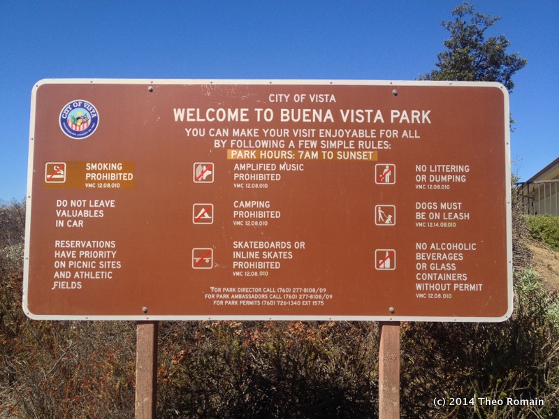
Officially the park requires all dogs to be kept on leashes and generally people using the trails keep to the rule, but many others do not. I’ve never seen any problems with dogs off leash. Owners are pretty great at self regulating themselves and their dogs in the park.

Just past the gate is a partially shaded bench. There is a trail map of the park attached to the structure shading the bench. There numerous crossing trails connecting the various main trails and loops throughout the park. It’s possible to spend several hours walking around every trail.
Many species of birds (including woodpeckers), butterflies, and plants call the park home.
There is also an ecology study area bordering the park on the west and south. Occasionally you can see a couple of horses on the other side of fence. They are quite beautiful.
The main hill in the middle of the park is an easy-moderate hike up, but the rest of the park is an easy hike of around 2.5 miles or so. Allow yourself a couple of hours if you want to explore the whole thing in one go.
Please enjoy these photos of the park and come explore this great open space in Vista, CA.
Each year the WBC’s first outing is a car camp. This helps to ease first-timers into the camping experience and get them to test and try out the gear they will need for the upcoming backpacking trips.
This year I chose to do Fish Creek, lead by Jeff Marchand, one of the contributing authors to the Wilderness Basics book.
One of the other focal points of the car camp, and something that is given time on all outings, is the use of map and compass to know where you are at all times. This course has given me a lot more confidence on use of the compass with a map to navigate.
I’m still learning, but one tip they emphasize over and over is always maintain an awareness of where you are while you are hiking. The idea to start at a known point and recheck your progress as you hike. Typically you always know the location of the trailhead you are starting from. As you hike, continually reference the map and compare to what you see as to hike. If the trail you are on crosses a stream or other landmark on the map those also make for great points to reassess where you are.

The geology of the Fish Creek area is spectacular. You can see the forces of the earth at work here.
After setting up camp on the south fork of Fish Creek Wash we had lunch and then hiked to Elephant Knees.

Elephant Knees is one of several sloped hills in this area. One side is steep and the other is shallower. The upper layer of these hills contain tons of ancient shell fossils. Oyster shells and mollusk shells were scattered around the shallow side and occasionally at the foot of the steeper side. The whole area used to be a shallow sea.

The view from the top was spectacular that day. The image above is looking back north toward the slot canyon we drove through to get to this area.
On Sunday we visited the Wind Caves. It was a simple trail to hike up.
The formation is pretty cool to see. Soft sands hardened and then eroded over the the millennia.


If you have a high clearance vehicle (or know someone who does), I highly recommend driving out to this area and doing an overnight. It’s a beautiful area with a lot of great geology to enjoy.
Last Tuesday, I attended class one of the Wilderness Basics Course put on by the North San Diego County chapter of the Sierra Club. It is a 10-class course to train people in the basics of enjoying the wilderness safely and includes a compass (navigation is a big part of the course; always know where you are), a workbook to go with the lectures, and the book “Wilderness Basics” published by Mountaineers Books.
The course will take us on four overnight camping trips. Each one building up into the next one.
The first class talked about fitting boots properly and the basics of the three-layer system to keep yourself dry and warm while hiking and camping.
I’m excited to be participating in the class for the second time.
Follow along with me as I go on this series of adventures.
 I Live To Explore